So I apologize for not updating this blog right after my White Mountains blog. You see, I was in a public library, and was kicked off so that a teenager could use the computer to play computer games....DARN TEENAGERS!
Anyways, I am sitting at the public library in Monson, Maine. This place is like maybe a room that is 10 foot by 20 foot. So tiny, yet so awesome. I am liking all these little towns more and more.
So, as you have probably seen from my last blog post, the Whites are pretty darn ah-maze-ing. Well, surprise surprise, southern Maine is a lot like the Whites! Very tough terrain, but still really spectacular sites. I think one of the things that southern Maine has over the Whites of New Hampshire is that its not such a tourist trap. There are A LOT less people in Maine. I am really loving the remoteness of Maine. I mean, nobody lives here! I look at all the views on top of the mountains, and its hard for me to even find any houses or anything. Just NATURE. No car noises, no airplanes buzzing in the sky, just the wind! And moose. You can hear lots of moose in the distance doing their mating calls, "MOOOOO-OOOSEEE". Just kidding.
OK now it is time for me to make a very important point. So, the Whites and southern Maine are wonderful to hike in when it is nice and sunny out, but if you are hiking on a really wet and rainy day, they are HORRENDOUS. The last day in the Whites, and for about 3 days in the beginning of the Maine, we got rained on a lot and the trail was super wet. Like, SUPER wet. So, you have really wet conditions, and you are constantly hiking up and down a bunch of rock slabs. Wet rocks are the WORST to hike on.
I'm not sure that some of you comprehend how bad it sucks, so I have created a science experiment for you all at home to try out! Go find a pile of rocks at home, and walk on them when they are dry. Probably pretty tough to begin with, but I'm sure you will get the hang of it! Now, take a hose and just drench those rocks reallllll well. Now, try and walk on them again. You probably will bust your ass in the first few steps. BAM! PROOF THAT WET ROCKS SUCK. Therefore, my life was sucking for a few days in the really nice parts of the trail. AND, since it was raining, your tent is completely drenched when you pack it up, which easily adds another 2.5 lbs to your total weight. Plus the rain soaks your pack, and all your stuff in your pack. I would say that when your pack is wet, your pack can easily way 30 % heavier than it normally does. And, when you have a heavy pack like me (damn you guitar!) that makes a lot of difference.
OK, I will stop complaining by typing, and I will add some pictures AND complain!!
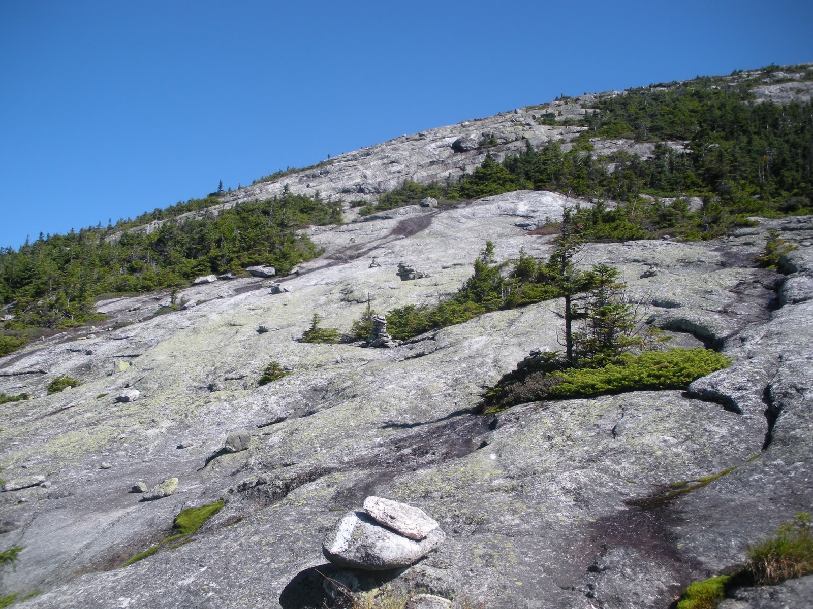
Yep, this is the type of stuff you gotta walk on. Tough enough when dry, but when WET!? Are you KIDDIN ME!? What everybody does is just try and walk along the side of the rocks where the moss is, and you use the trees to help support you up. Oh, and you think this is tough going up when wet?? Oh, just wait until you have to go DOWN!
Oh yeah, I'm loving life going over this stuff!
As you can see from the white blaze on the tree, yes this is the trail. But after a long downpour during the middle of the night, the trail becomes a mini creek that you gotta walk up.
Make sure you don't slip when you are walking along the wet wooden bogs, or else you will get SUCKED INTO THE MUD! At first I was like, "Ahhh CRAP!", but then I was just amazed at how far I sank into the mud! I heard other hikers did the same thing and it went all the way up to their waist. Cray crayyyy.
CMON! ARE YOU KIDDIN ME!?!?
CMONNNNN!
ALRIGHT! THIS IS GETTING RIDICULOUS!
The lowest point for me on the trail so far was going through the Mahoosuc Notch. It is a mile long part of the trail that is just filled with huge boulders. It thankfully wasn't raining when I went through it, but everything was still realllll wet. I decided to take a video so YOU ALL CAN SEE ME AT MY LOWEST LOW!
By this stage in my blog, I hope you realize that I joke lots. Yeah, the notch sucked in the rain, but you know what sucks more? WORK!
Okay, I am done complaining about wet stuff now. The weather started to get a lot nicer and Things started to become a LOT better.
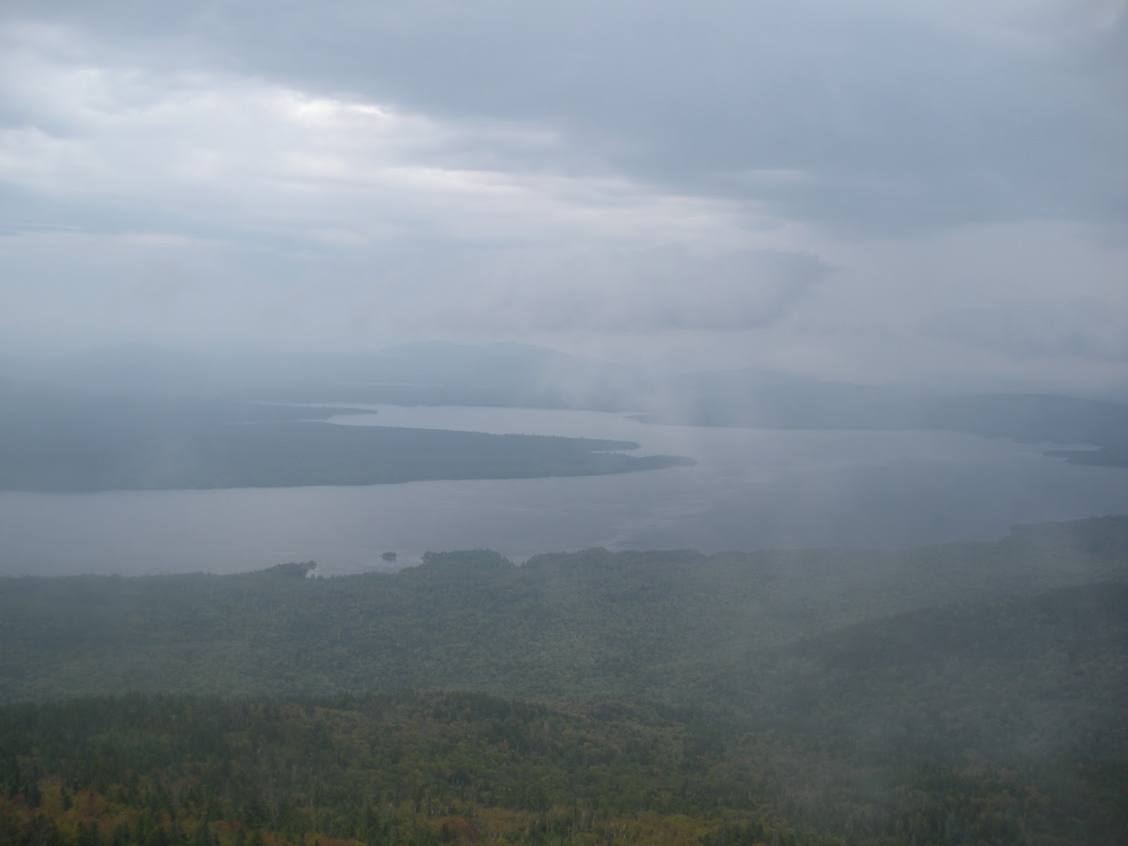
Clouds coming over to consume some MAINE MOUNTAINS!
Nice view from one of the shelters.
Do you see that little white sign at the bottom? That's where the trail is.
Looks like some MORE RAIN is coming....ugh.
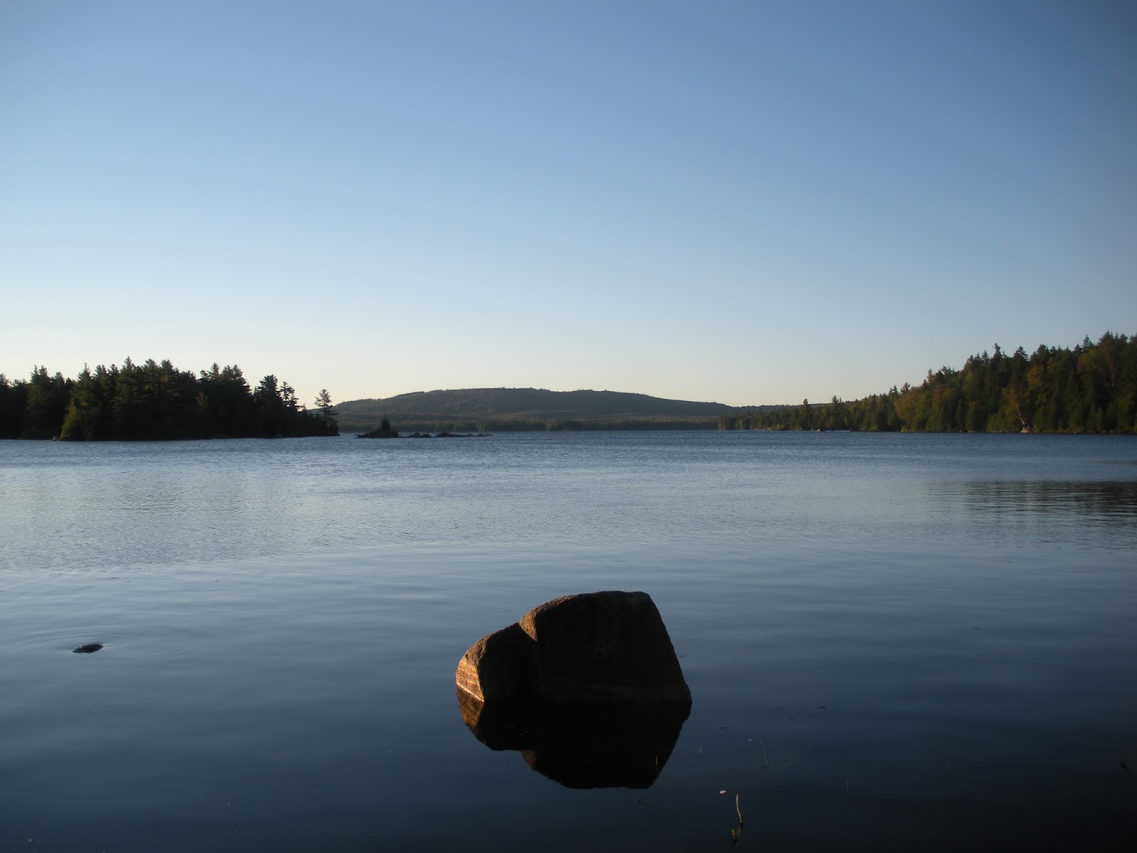
Me staying classy at one of the many "ponds" that Maine has to offer. A pond in Maine is about the same as a normal lake in Indiana.
Nope, thats not a tan line on my foot, thats a dirt line! And, I got a boo boo going through the mahoosuc notch. :-(
Oh yeah, me likey this parking lot!
Umm....WHAT THE HELL IS THIS LANGUAGE WITH ALL THESE LITTLE SLASHES ABOVE THE LETTERS? LAST TIME I CHECKED, THIS WAS STILL AMURIKA! It's funny, I saw a border patrol car the other day in town, and I was just like "holy crap they have border patrol up north too!" I'm sure it is a lot more chill than down south, I am guessing these workers have to drive around and just tell Canadians to turn around and go back to Canada, and then they probably just apologize in their Canadian accent..."SORRY!"
No roads, no planes, no people. JUST ME AND MOTHER NATURE!
One of the coolest climbs to a top of a mountain so far. I'm so glad I hiked this section on a nice day!
This is me bathing in the beauty that Maine has to offer.
Here are 3 pics from the top of the mountain.
Hot rod show in Andover, Maine!
So, while I was resupplying at the general store in Andover, I chatted with a couple who eventually let me stay at their place. This is their place, it is a house that has been passed on for 8 generations and was built sometime in the 1800s. BEST TRAIL MAGIC EVER!
View of the front yard.
Super big old fire pit at their place.
Here is me standing in front of their massive front door. I also got to play them a couple of songs...it was super fun playing in such an old house. Thanks Peter and Susan for the unforgettable experience!
More views!
At one of the hostels, you can either stay in the bunkroom for $20, or stay in a camper for $15. HECK YES I'LL TAKE THE CAMPER!
Something tells me that some "unpure" actions have taken place in here.
Hiking is a great way to easily get into a meditative state on the trail. Here is an example of when I am thinking lots about stuff.
Lots o' lakes in Maine!
Yep, this will be one of my favorite pics of the trail. I could of sat here forever.
Did I mention you can drive right to this site?
I wanna drive here.
Cool pic of lake amongst the trees.
Here is the lake from water level.
Here is Lazyboy and I taking a canoe out on one of the random ponds on the trail. Sorry Lazyboy, no time to paddle, I gotta take pictures!
Walking into the town of Rangeley, Maine.
OHMAHGUAD BEAR!
Cool sunset and clouds.
Mountains.
Mountains.
It's a little chilly with the wind!
Another one bites the dust!
Another Lord of the Rings style hike.
4023 feet? No problem!
This was a plaque commemorating all of the volunteers that made the A.T. possible. This plaque was placed where the last section of the trail was finished, completing a 2000+ mile long trail. NEAT!
Rocks.
Sometimes you gotta ford rivers, and sometimes you gotta walk over some wooden boards.
Small town in Stratton, ME.
I made it to 2000 miles!
I walked along that lake, and then up that mountain!
South horn was a short but tough climb.
It was also a CLOUD MAKING MACHINE! I would just stand there and it would be completely clear, and then clouds would just appear out of nowhere and consume me. Here is a pic of the clouds about to consume me.
View of clouds in the distance.
Avery peak in the distance.
This is where I start singing R-Kelly's classic "I Believe I Can Fly".
Done.
and DONE! No more big mountains until Mount Katahdin! I for one am excited to walk on some easy terrain!!!
I'm just making sure Snuggles and Lazybody stay on the trail to NOT HURT THE FRAGILE ALPINE VEGETATION!
I made it 2013 miles!
Road crossings can be confusing at times...."Hmmm, where does the trail go from here??"
Pond.
Oh, you all can have SUCH a great time in the shelter....
...WHILE I AM CHILLING IN MY TENT LOOKING AT THIS VIEW!
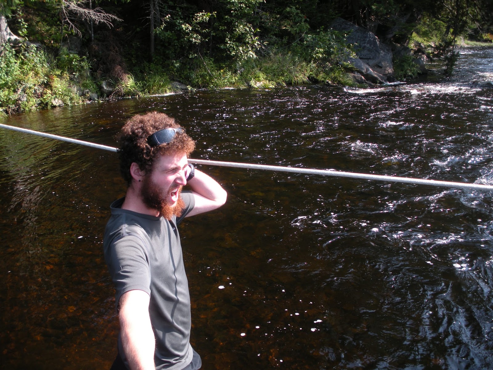
When crossing the Kennebec river, you gotta use the ferry. COOL!
Ferryman come take me across the river!
Welcome to Caratunk, ME, where the streets literally have no name!
This is the lodge at the Northern Outdoors in Caratunk. We decided to stay here and hang out in their hot tub for a long time, and WATCH SOME NFL ON SUNDAY MORNING YEAH 'MERICA!
Another massive lake.
YEAH FIRE FIRE!
So much green moss.
THE SUNLIGHT BURNS MY SKIN!
Moxie Bald Mtn, that last real awesome view before Mount Katahdin.
Yay.
You see that log-ish looking thing in the middle? Yeah, thats a BEAVER.
The view in the morning. YAY FOR SUNSHINE AND NO RAIN! BOUT DAMN TIME!
So, I am now in the flat part of Maine. You get to ford lots of rivers in the flat part of Maine. Here is the first one for me!
Second one!
PIECE OF CAKE.
I walked along this river for about 4 miles. It was wonderful, super easy terrain and you get to listen to the peaceful sounds of the river the entire time.
WELP, THAT'S ALL FOLKS! You will not see another update from me until I summit Katahdin! Just thinking about it is getting me so pumped!!! I am only about 7-8 days away! Wish me luck! I will definitely have another blog when I am done with the trail, so don't worry this isn't goodbye!